

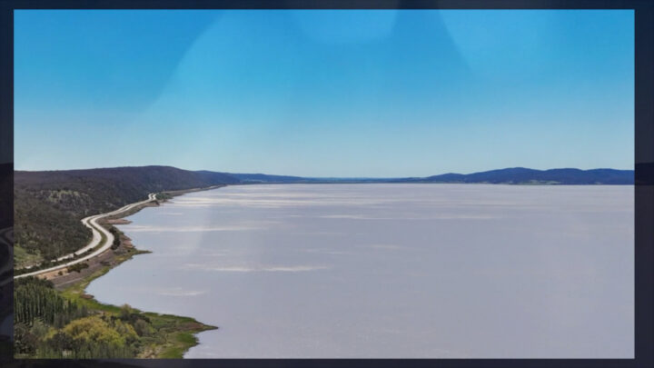
Scientists from The Australian National University have analysed signals generated by the vibrations of traffic along the Federal Highway to learn more about the seismic nature of Lake George, situated north-east of Canberra.
According to the researchers, the study provides “unprecedented” insights into the structural characteristics of the Lake George fault zone, which runs along the western boundary of the lake. They say the fault holds clues about past earthquakes in the area.
Using a network of 100 beer can-sized seismometers placed in the then-dry lakebed and near the highway, the researchers analysed traffic vibrations and used that data to create 3D images, allowing them to peer 800 meters beneath Earth’s surface – similar to doing a CT scan to create detailed medical images of the human body.
According to study co-author Professor Meghan Miller, traditional methods to study fault zones are difficult and can be very expensive, often requiring artificial explosions. She said the imaging technique of analysing ordinary traffic noise to study fault zones offers an innovative, powerful and non-invasive solution that can be used to conduct seismic hazard assessments in major metropolitan areas or regions that are difficult to access.
The researchers collected data from the signals generated by passing traffic along the Federal Highway for about four weeks, from December 2020 to January 2021 with the research published in the journal Seismological Research Letters.